Wider cycle paths, more attractive public space
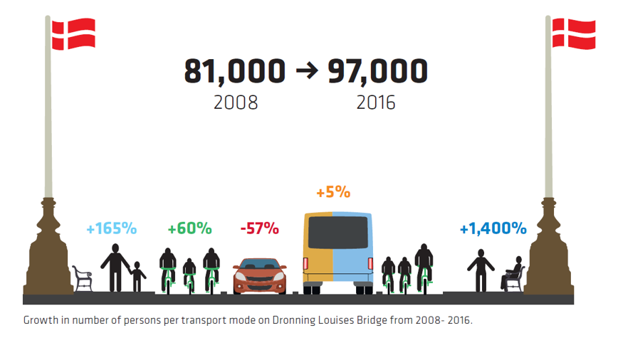
Between 2008 and 2016 the number of cars driving across Dronning Louises Bro in Copenhagen dropped by nearly 60%. But the total number of people using the bridge increased by 16000 per day, thanks to higher numbers of cyclists. Additionally, shifting the traffic from cars to bicycles resulted more attractive public spaces that people not only commute through, but also like to spend time in.
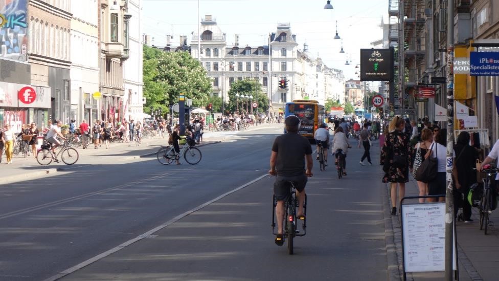
Cycle highway C95 is 21 km long and connects north-western suburbs of Copenhagen with the city centre. The part through Nørrebrogade is one of the busiest sections of Copenhagen cycle network. 48 thousand cyclists per day were counted in autumn of 2016 at Dronning Louises Bro (Queen Louise Bridge). With these volumes of traffic, minimum widths of cycle paths are no longer good enough.
Redistribution of road space to widen cycle paths, as well as create more space for pedestrians and bus passengers, was done gradually between 2008 and 2016. In many cases, provisional or pilot solutions were tested before the reconstruction into the current shape.
Wider cycle paths
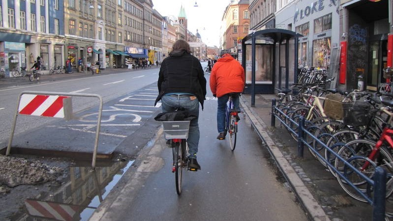
Up until 2008, Queen Louises Bridge used to have 4 lanes for cars, unidirectional cycle tracks on both sides and narrow sidewalks. First, the external traffic lanes were turned into cycle lanes, leaving 2 lanes for cars. For several years, cyclists could choose either to use cycle path (narrow, but further from traffic) or cycle lane (on carriageway). Then the bridge was reconstructed to widen cycle paths and sidewalks, reducing the space for cars permanently.
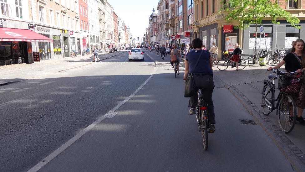
Further along Nørrebrogade cycle lanes were also widened to between 3,0 and 3,5 m per direction to accommodate growing bicycle traffic.

More space for passengers at bus stops
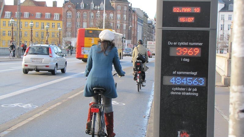
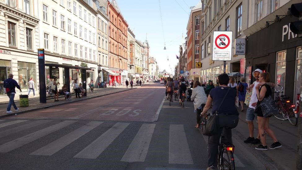
At bus stops the carriageway was narrowed to provide space for bus stop platforms. Having separate platforms in addition to sidewalk reduced conflicts between cyclists and passengers embarking or disembarking busses. This is alike to measures that can be seen on the Flemish F3 cycle highway in Beisem but applied in much denser urban environment.
Less cars, more people
Because of different measures applied on Nørrebrogade and the bridge itself, between 2008 and 2016 the number of cars driving across Droning Louises Bridge dropped by nearly 60%. But the total number of people using the bridge increased by 16 thousand per day! Number of cyclist grew by 60% and bus passengers by 5%. An interesting side effect is that the number of people spending time on the bridge – hanging out, sitting on the benches – increased as much as 15 times. Shifting the traffic from cars to bicycles resulted in the bridge becoming an attractive public space.
The article is a part of a series showcasing examples of cycle highways infrastructure in North-Western Europe. More about cycle highways in Copenhagen:
http://supercykelstier.dk/english/
Regions:
Network/Project Involved:
Contact the author
Recent news!
Upcoming events
Contact Us
Avenue des Arts, 7-8
Postal address: Rue de la Charité, 22
1210 Brussels, Belgium


