Filtered permeability improves safety on cycle highway in Beuningen
Car traffic can be “filtered out” on selected streets to create better conditions for walking and cycling, and at the same time maintain necessary access to every location. On the cycle highway Batavierenpad Zuid filtered permeability improves safety by radically reducing the number of crossings with motorised traffic.
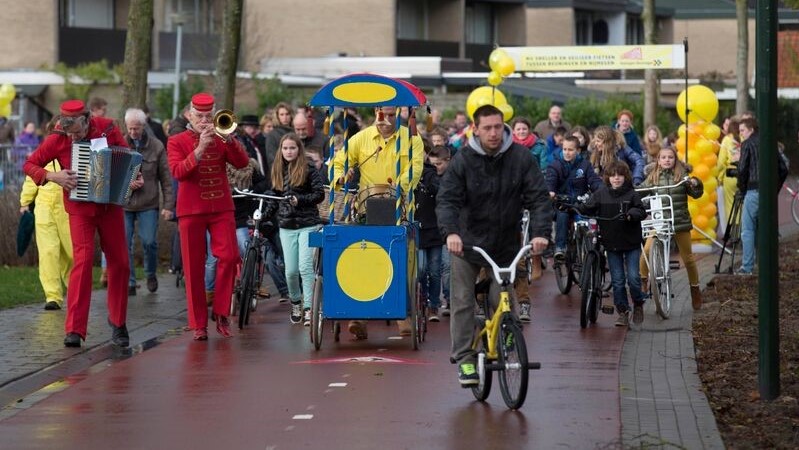
We revisit the southern cycle highway connecting Nijmegen with Beuningen (Batavierenpad Zuid) to examine the part crossing Beuningen itself. The cycle highway passes directly by several important destinations, for example the elementary school De Hoeven. Kids can travel to the school by bicycle without being endangered by car traffic. Limited and much more complicated access for cars is provided from the other side.
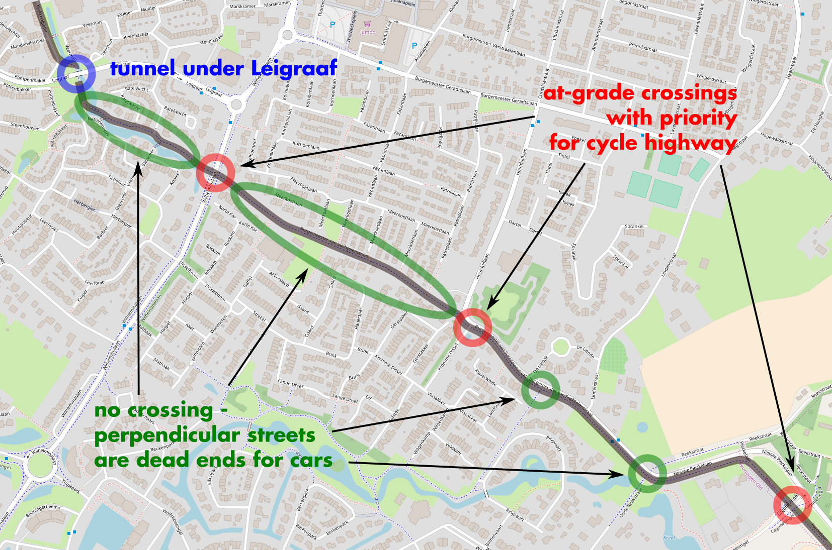
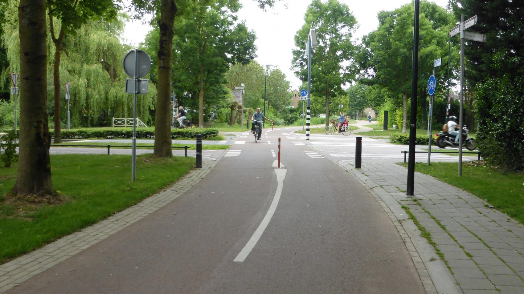
Looking at the bigger picture, the cycle highway is the main axis of the settlement – a straight, direct route through the middle of it. On the other hand, streets accessible for cars form a complicated labyrinth with no direct connections. In particular, the number of connection across the cycle highway is limited – streets are cut, and form dead ends for cars, but not for pedestrians and cyclists. This reduces the number of conflict points with motorised traffic and allows for a smooth ride on the cycle highway with no disruptions.
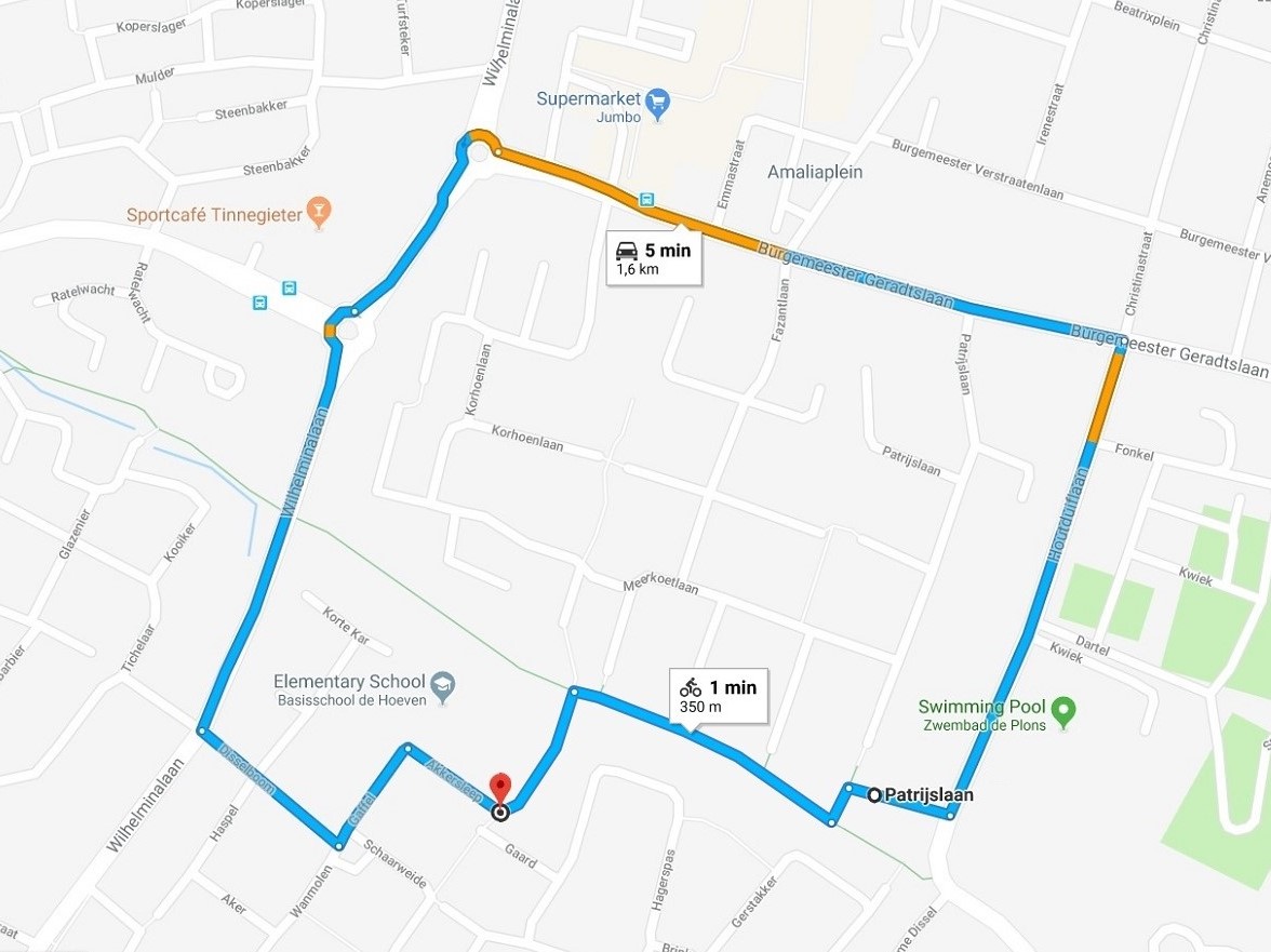
The organisation of traffic in Beuningen is an example of filtered permeability – an urban planning concept that “filters out” car traffic on selected streets to create more attractive environment for walking and cycling. In consequence, if you want to visit your friend, take your kid to school or do shopping, you can either walk or cycle several hundred meters – or drive a car a long way around on a slow, complicated route. Filtered permeability removes through traffic from the area, discourages short car trips that can be easily replaced by bike, and at the same time maintains full accessibility for deliveries or emergencies.
“The western part of Burgemeester van Suchtelenstraat, currently a part of the cycle highway, was used as car road towards Nijmegen until the eighties”, explains Koen Knippenberg, Policy Officer for Traffic and Transport in the municipality of Beuningen. “Then the function of the corridor changed radically – cars were removed, and this section of the road became a linear park with only cyclists and pedestrians allowed. The change was a part of settlement design of the upcoming neighbourhoods of Beuningen Duivenkamp and Hoeve.”
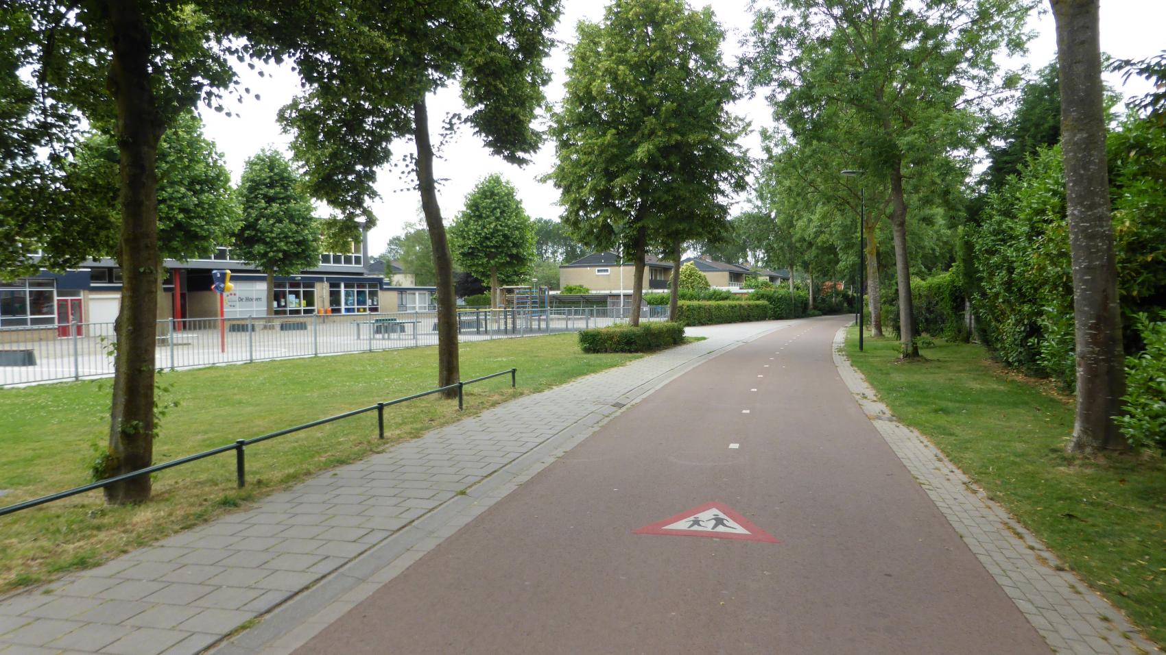
Much later, as a part of the cycle highway project, another conflict point was removed – a section of Oude Reekstraat perpendicular to Burgemeester van Suchtelenstraat was closed for cars and transformed into another cycle path. The few remaining crossings in Beuningen were rebuilt to safe standard with priority for cyclists. This way the cyclists do not have to stop even once on the 6 km between the centre of Beuningen and Rosa de Limastraat in Nijmegen.
The article is a part of a series showcasing examples of cycle highways infrastructure in North-Western Europe.
More about the cycle highway Batavierenpad Zuid: https://www.snelfietsroutesgelderland.nl/Batavierenpad-zuid
Regions:
Network/Project Involved:
Contact the author
Recent news!
Upcoming events
Contact Us
Avenue des Arts, 7-8
Postal address: Rue de la Charité, 22
1210 Brussels, Belgium


